PACIFIC COAST LAND SURVEYS
San Diego Land Surveyor
Residential & Commercial Boundary Surveys
-
Topographic Surveys
-
Subdivision Mapping
-
ALTA Surveys
-
Residential & Commercial Boundary Surveys - Topographic Surveys - Subdivision Mapping - ALTA Surveys -
Ways We Can Help You

Residential Land Surveys
Are you looking for surveyor services for your local residential project in San Diego, CA? We offer boundary surveys and mapping services to support accurate site planning and execution for new developments. Let us eliminate questions on property lines and potential issues on your project.

Accessory Dwelling Units
Are you planning to build an accessory dwelling unit (ADU)? We can provide land surveying services that help to ensure that everything goes to plan with your building contractors and project while maintaining survey accuracy in San Diego, CA.
-
Boundary surveys establish the location of your property lines and corners, helping to prevent disputes and guide development. We provide detailed maps that ensure your project stays within its rightful boundaries.
-
Topographical surveys map the natural and man-made features of a property, including elevation changes, structures, and vegetation. These surveys are essential for site planning, grading, drainage, and engineering design.
-
ALTA/NSPS surveys meet the rigorous standards set by the American Land Title Association and the National Society of Professional Surveyors. They provide comprehensive detail required by lenders, title companies, and attorneys during commercial real estate transactions.
-
Subdivision maps divide a parcel of land into smaller lots for development or sale. We handle the technical and regulatory aspects, ensuring compliance with local planning departments and subdivision ordinances.
-
Lot line adjustments legally modify property boundaries between two or more parcels. Our surveys and documentation help facilitate smoother transactions and approvals with local jurisdictions.
-
We draft precise legal descriptions and accompanying exhibits for use in deeds, easements, and other real estate documents.
-
As-built surveys document existing conditions after construction, capturing the location and dimensions of completed improvements. These surveys are useful for verifying project compliance with design plans and permitting agencies.
-
We provide reliable surveying support for civil engineering projects, including grading plans, utility layouts, and infrastructure design. Our data gives engineers a solid foundation to create accurate, buildable designs.
-
FEMA Elevation Certificates determine a structure’s elevation relative to the base flood elevation in a given area. These are often required for flood insurance, permitting, and compliance with the National Flood Insurance Program (NFIP).
Our Services
About Us
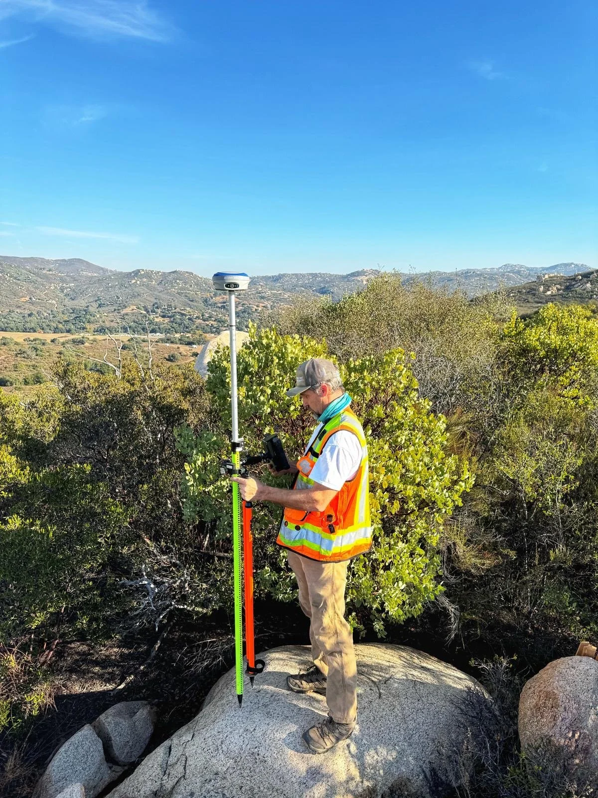
I’ve worked in land surveying since 1988, serving clients across San Diego County, California.
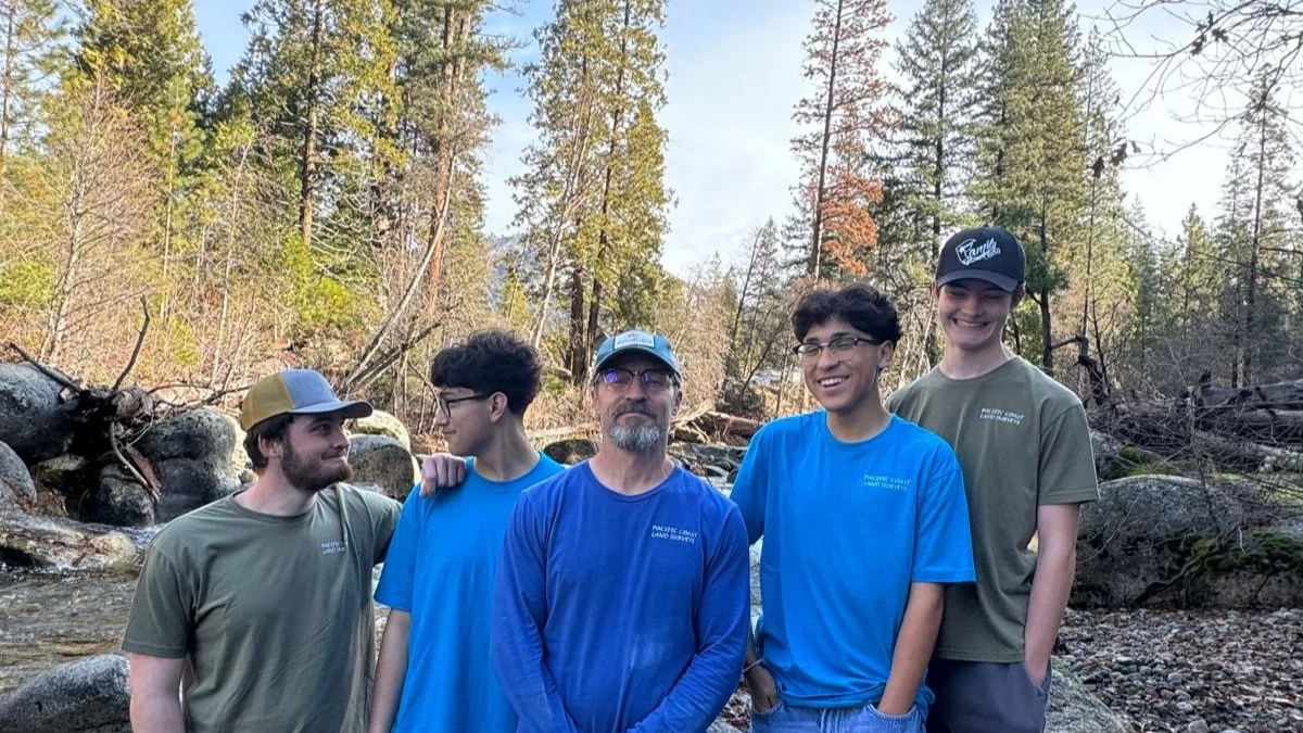
Supporting future surveyors.
Curious about land surveying? Explore our trusted sources and guidance.